Wind Chills Near -20 Expected as Coldest Air of the Season Hits Kitchener-Waterloo
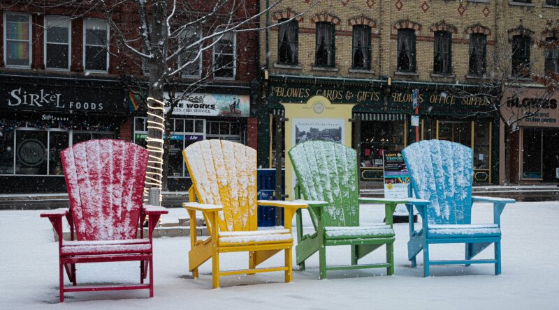
Residents across Kitchener-Waterloo are preparing for a sharp shift to winter conditions as the coldest air of the season moves into the region over the next 48 hours.
An Alberta Clipper is tracking through southern Ontario, bringing a brief mix of wet flurries and rain on Tuesday. With temperatures hovering around 1°C, no accumulation is expected early on, and precipitation is forecast to taper off by Tuesday evening before continuing lightly into Wednesday morning.
Conditions are expected to change quickly on Wednesday afternoon as a cold front moves through the region. Heavier flurries may develop, accompanied by falling temperatures and intermittent snowfall. While lake-effect snow will intensify in areas closer to Georgian Bay, Waterloo Region is expected to see modest snowfall totals of approximately 2 to 4 centimetres.
By Wednesday evening, temperatures are forecast to fall to around -5°C, with wind chill values near -13. Overnight, strong winds combined with colder air could make it feel as cold as -24 in some areas.
Thursday morning is expected to bring the coldest conditions of the season so far, with wind chills approaching -20. Meteorologists say this cold air mass is likely to persist through the upcoming weekend and potentially into the end of the month.
An Alberta Clipper is a fast-moving winter weather system known for bringing light snow, gusty winds, and rapid temperature drops across the Great Lakes region.
Residents are advised to dress for extreme cold and plan ahead for winter travel conditions.
Source: CityNews Kitchener